
Network · revised 18 August 2026
The motorways are a ring with pieces missing.
Published . Updated . Lengths below are rounded public figures. Treat an opening date announced by a minister as a plan, and check the road in front of you.
A drawing of relationships. Distances and bends are in the sections below, not in this sketch.
A1
Trakia, Sofia to Burgas
Trakia is the finished east–west motorway of southern Bulgaria, about 360 kilometres, in service as a continuous motorway since 2013. It leaves the Sofia ring, crosses the hills toward Ihtiman, drops to the Thracian plain, passes Plovdiv and Stara Zagora, and ends at Burgas on the Black Sea.
Near Chirpan and Orizovo it meets Maritsa. Drivers bound for Türkiye leave Trakia there. Drivers bound for the coast stay on Trakia. In July and August the Friday flow toward Burgas, and the Sunday flow back, is the congestion people plan around. The Sofia–Plovdiv stretch is the other busy piece, on ordinary weekdays as well as holidays.
Parts of Trakia were built when traffic was lighter, so some sections feel narrower than a newer motorway even though the legal class is the same. A 140 km/h default for a category B car is not a description of the queue at a toll-free junction in August. The sign page explains how posted limits replace that default.

Hemus, Sofia toward Varna
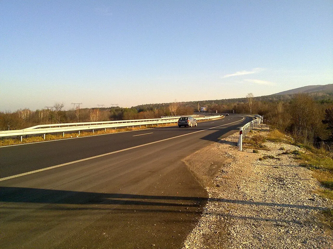
Hemus is the northern motorway, planned at roughly 420 kilometres from Sofia to Varna. Published network tables in 2026 still show a little over 200 kilometres open. The rest is national road, and the join between motorway and ordinary road is the thing to budget for.
Open pieces include the run out of Sofia through the Balkan foothills, with viaducts and tunnels, and further sections toward Pleven and beyond as they are released. Construction permits and ministerial comments in 2025 and 2026 have talked about a possible full opening around 2030. That is a forecast from public officials, not a date you can hold anyone to. Until the gap is gone, a driver who leaves Sofia for Varna should expect a mixture of motorway and first-class road, often via the I-4 / I-2 / I-5 family of routes depending on which section is open that season.
The practical consequence: do not copy a motorway-only time from a summer afternoon into a November night. The winter guide covers the passes that sit beside this corridor, including Petrohan on the road toward Vidin, which is a different mountain problem from Hemus itself.
A2

A3
Struma, and the gorge
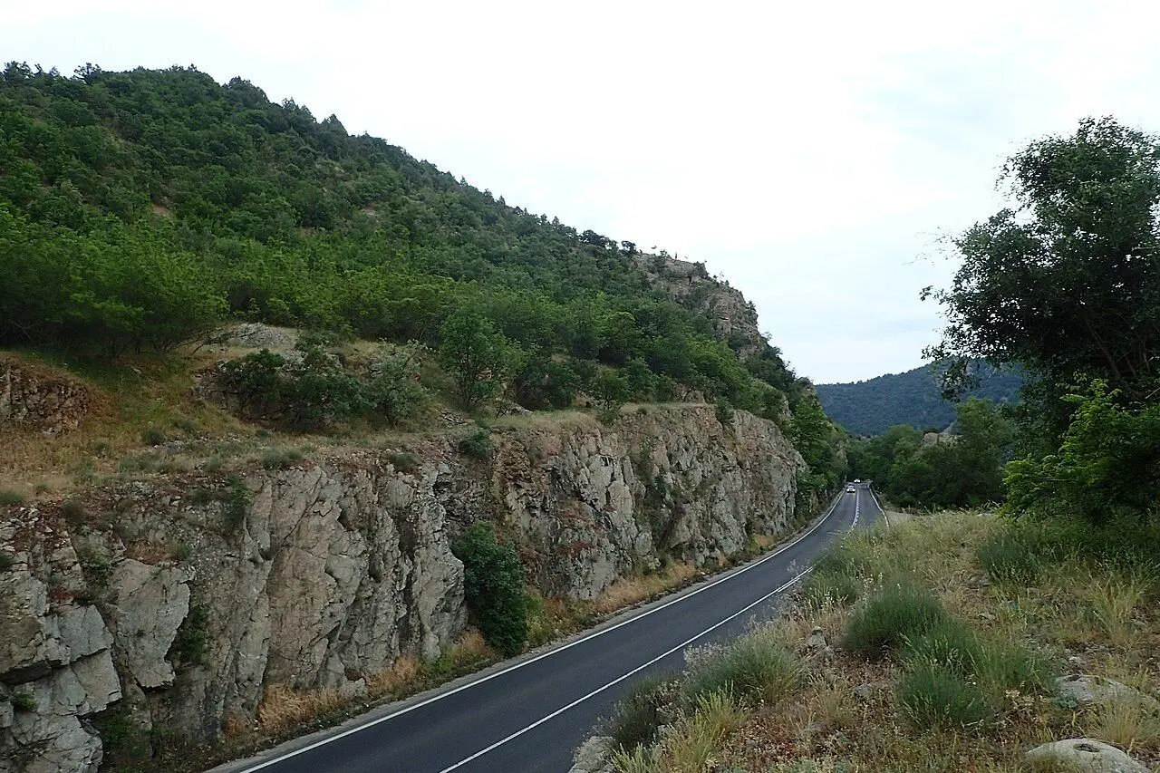
Struma runs from the Sofia ring through Pernik, Dupnitsa and Blagoevgrad toward Kulata on the Greek border. Most of the planned length, in the region of 170 kilometres, is motorway. The exception that dominates the journey is the Kresna gorge, Lot 3.2 in the project papers, where traffic still uses the existing road beside the river.
That road is two-way, cut into the rock, and shared by cars, coaches and trucks heading for Greece. It is legal and heavily used. It is also slower than the motorway on either side, and it is the section where a timetable copied from the motorway speed limit falls apart. Environmental disagreement over how to finish the motorway here has lasted for years. In 2026 the government again revised its roadmap, and a ministerial comment put a realistic Kulata-to-Sofia completion toward 2031. Read that as politics plus engineering, then allow the extra hour anyway.
North of the gorge the motorway is a fast mountain approach, with snow on the Vitosha and Rila ridges into spring. The 2009 photograph on the home page shows that northern character. South of Sandanski the motorway runs again toward the border. The border page picks up the story at Kulata.

A4
Maritsa
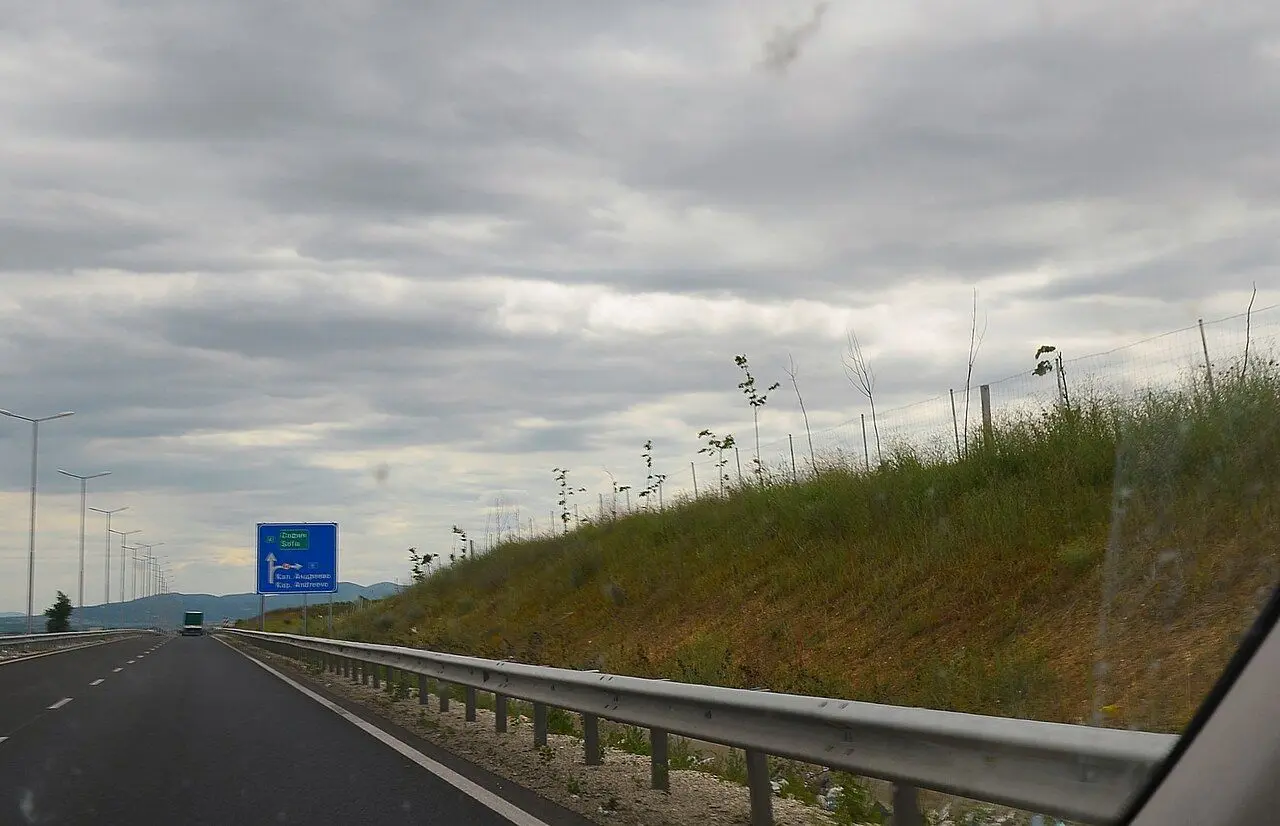
About 117 kilometres from the Trakia junction to Kapitan Andreevo, completed in 2015. This is the truck road to Türkiye. Direction signs are bilingual near the border. A car using it still needs a vignette; a heavy vehicle needs the distance toll. See freight corridors.
A5
Cherno More
The Black Sea motorway between Varna and Burgas is a project more than a road. A short piece exists; the journey is still road I-9, through and around resorts. Summer speed is whatever the town in front of you allows. Do not plan it as a 140 km/h hop.
A6
Europe
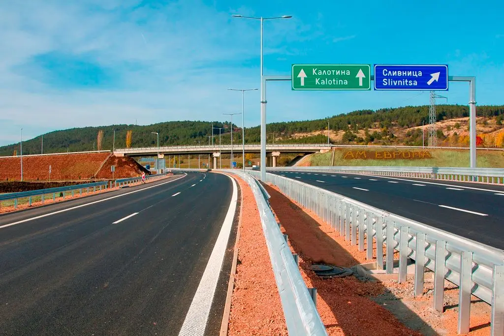
Kalotina, on the Serbian border, to the Sofia ring: about 63 kilometres, reported in service on 14 September 2025. The motorway removed a difficult two-lane approach. It did not remove passport and customs control at an external border, or the queue that comes with them.


The ring, and the roads that still do the work
Sofia is the knot. Trakia, Hemus, Struma and Europe all meet the ring rather than the city centre. A transit driver who stays on the ring avoids the street grid. The southern ring photograph in this library is from 2009, so it shows the scale of the road and not today’s buildings. Junctions have been rebuilt since.
Where a motorway is missing, first-class roads carry the country:
- I-1 runs the long western edge from Vidin to Kulata, including the Petrohan pass.
- I-5 is the Ruse–Stara Zagora–Makaza spine, important while Hemus is unfinished and for traffic toward Greece via the Rhodopes.
- I-8 is the older east–west line that motorways have partly replaced.
- I-9 is the Black Sea road from Durankulak to Malko Tarnovo.
A vignette for a light vehicle covers the paid national network, motorway and national road alike, not only the roads with an A number. Municipal streets inside a town are a different case, and the boundary is easier to get wrong than the map suggests. The vignette guide stays with that distinction.
Where these notes come from
Lengths and opening history follow public descriptions of the network, including the completion of Trakia in 2013, Maritsa in 2015, and reports of Europe opening in September 2025. Hemus and Struma gaps follow 2025–2026 government and news reports, which disagree on exact years and agree that both roads are unfinished. For a closure today, the Road Infrastructure Agency at api.bg is the relevant public desk. tolbg does not operate a live traffic feed.
Continue with driving a car or border crossings.